As part of The Farm story experiment, I’ve been working with my son fwathegamer (who turned 11 last week) on a video game inspired by stories from Finnish Americans, like my great grandparents Elias and Johanna, living in the UP in the 1890s-early 1900s. While some of the stories come from my grandmother’s memoirs + scrapbooks, much of them come from researching the history of Finnish immigrants. I’ve really enjoyed reading/hearing the stories and figuring out ways to organize them into a video game. But, I’ve had less fun trying to collaborate with my son on the project. I think neither of us had any idea that creating a video game could be so complicated and time-consuming. It’s taking all the SISU and Puotinen persistence that I have to continue nagging encouraging him to work on the project with me.
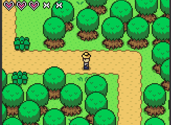
One monumental task for this video game is crafting the UP, including the farm world, in pixel form. Thanks to a fabulous micro grant (from Tweet Small Change), fwathegamer and I got a subscription to Pickle and we’ve been playing around/struggling with it in the hopes of creating cool tile sets and backgrounds for the game. This morning, inspired by a featured game on Stencyl, the platform that we’re using, I had the idea of using the aerial view of the farm land as a guide. In less than a minute, I was able to zoom in on google maps to find it.

Pretty cool! Now, we just need to convert it to something like these:
 ‘
‘